Latest GFS and ECMWF forecast ensembles project Seattle's highest temperature on April 4 clustering around 58-63°F—slightly above the early-April climatological normal of 57°F at Sea-Tac Airport—driving trader consensus across those closely matched outcomes at nearly 80% implied probability combined. This positioning stems from NOAA's March spring outlook favoring above-normal temperatures and below-normal precipitation for western Washington, as fading La Niña transitions to ENSO-neutral conditions allow a strengthening upper-level ridge over the Pacific Northwest to promote downslope warming. Key differentiators include variability in Puget Sound marine stratus persistence, which could suppress peaks by 3-5°F if low clouds linger, versus clearer skies enabling diurnal mixing to 62°F+. New 00z and 12z model runs, plus NWS Seattle forecast discussions, will clarify amid inherent 5-day forecast uncertainty.
Polymarketデータを参照したAI生成の実験的な要約 · 更新日Highest temperature in Seattle on April 4?
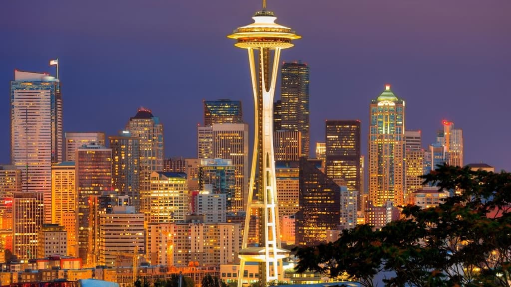
Highest temperature in Seattle on April 4?
60-61°F 30%
58-59°F 27%
62-63°F 22%
56-57°F 20%
49°F or below
13%
50-51°F
12%
52-53°F
14%
54-55°F
18%
56-57°F
20%
58-59°F
27%
60-61°F
30%
62-63°F
22%
64-65°F
19%
66-67°F
8%
68°F or higher
18%
60-61°F 30%
58-59°F 27%
62-63°F 22%
56-57°F 20%
49°F or below
13%
50-51°F
12%
52-53°F
14%
54-55°F
18%
56-57°F
20%
58-59°F
27%
60-61°F
30%
62-63°F
22%
64-65°F
19%
66-67°F
8%
68°F or higher
18%
The resolution source for this market will be information from Wunderground, specifically the highest temperature recorded for all times on this day by the Forecast for the Seattle-Tacoma International Airport Station once information is finalized, available here: https://www.wunderground.com/history/daily/us/wa/seatac/KSEA.
To toggle between Fahrenheit and Celsius, click the gear icon next to the search bar and switch the Temperature setting between °F and °C.
This market can not resolve to "Yes" until all data for this date has been finalized.
The resolution source for this market measures temperatures to whole degrees Fahrenheit (eg, 21°F). Thus, this is the level of precision that will be used when resolving the market.
Any revisions to temperatures recorded after data is finalized for this market's timeframe will not be considered for this market's resolution.
マーケット開始日: Mar 29, 2026, 3:15 PM ET
Resolution Source
https://www.wunderground.com/history/daily/us/wa/seatac/KSEAResolver
0x69c47De9D...The resolution source for this market will be information from Wunderground, specifically the highest temperature recorded for all times on this day by the Forecast for the Seattle-Tacoma International Airport Station once information is finalized, available here: https://www.wunderground.com/history/daily/us/wa/seatac/KSEA.
To toggle between Fahrenheit and Celsius, click the gear icon next to the search bar and switch the Temperature setting between °F and °C.
This market can not resolve to "Yes" until all data for this date has been finalized.
The resolution source for this market measures temperatures to whole degrees Fahrenheit (eg, 21°F). Thus, this is the level of precision that will be used when resolving the market.
Any revisions to temperatures recorded after data is finalized for this market's timeframe will not be considered for this market's resolution.
Resolution Source
https://www.wunderground.com/history/daily/us/wa/seatac/KSEAResolver
0x69c47De9D...Latest GFS and ECMWF forecast ensembles project Seattle's highest temperature on April 4 clustering around 58-63°F—slightly above the early-April climatological normal of 57°F at Sea-Tac Airport—driving trader consensus across those closely matched outcomes at nearly 80% implied probability combined. This positioning stems from NOAA's March spring outlook favoring above-normal temperatures and below-normal precipitation for western Washington, as fading La Niña transitions to ENSO-neutral conditions allow a strengthening upper-level ridge over the Pacific Northwest to promote downslope warming. Key differentiators include variability in Puget Sound marine stratus persistence, which could suppress peaks by 3-5°F if low clouds linger, versus clearer skies enabling diurnal mixing to 62°F+. New 00z and 12z model runs, plus NWS Seattle forecast discussions, will clarify amid inherent 5-day forecast uncertainty.
Polymarketデータを参照したAI生成の実験的な要約 · 更新日
外部リンクに注意してください。
外部リンクに注意してください。
よくある質問