
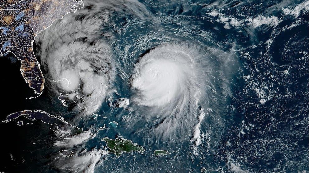
**Typhoon Choi-wan’s peak intensity settled firmly in the “very strong” category after rapid intensification over warm western Pacific waters east of the Marianas.** Official analyses from the Japan Meteorological Agency and Joint Typhoon Warning Center documented central pressures dropping to around 912–925 hPa with maximum sustained winds reaching approximately 130–135 knots (roughly 240–250 km/h) near 4–5 October 2026, consistent with a large, well-organized system featuring a clear eye and expansive wind field. Favorable thermodynamics—high ocean heat content, low vertical wind shear, and strong upper-level divergence—supported this development before the storm recurved northward into cooler seas and increasing shear, triggering steady weakening and extratropical transition by 7–8 October. Trader consensus at 97.8% reflects these verified observations and model agreement on the peak; realistic challenges would require sustained warmer sea-surface temperatures or a slower poleward track that delayed transition, outcomes not supported by the actual steering pattern or post-peak data.
Experimental AI-generated summary referencing Polymarket data. This is not trading advice and plays no role in how this market resolves. · UpdatedView resolved
Beware of external links.
Beware of external links.
Frequently Asked Questions