
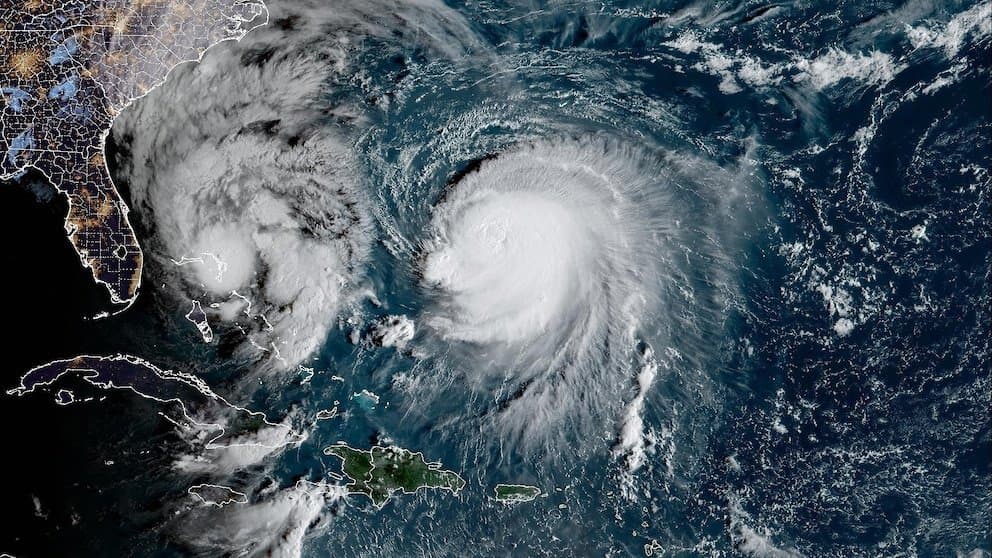
Recent National Hurricane Center forecasts position Tropical Storm Simon for rapid intensification over the eastern Pacific, driven by low wind shear, anomalously warm sea surface temperatures several degrees above average, and high atmospheric moisture supporting a compact inner core. Official guidance calls for Simon to reach hurricane strength by tonight and peak near 115-130 knots as a Category 4 before landfall in west-central Mexico early Sunday, aligning with the market's leading 45% implied probability for that outcome. Model consensus, including HCCA, favors this range, though coastal proximity raises the risk of dry-air entrainment that could cap intensity below Category 4 or allow brief Category 5 winds if conditions align more favorably. Updated model runs and intensity guidance through the weekend will likely influence trader reassessment of these probabilities.
Experimental AI-generated summary referencing Polymarket data. This is not trading advice and plays no role in how this market resolves. · UpdatedView resolved
Beware of external links.
Beware of external links.
Frequently Asked Questions