
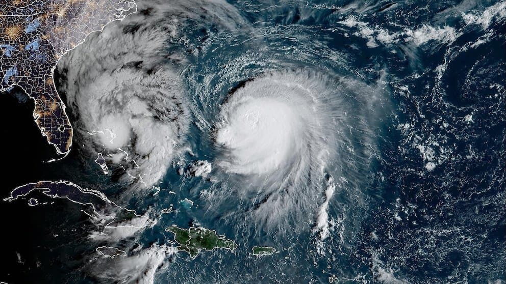
Tropical Storm Nolo, currently at 70 mph with a forming inner core, is positioned for rapid intensification over the next 48 hours amid warm sea surface temperatures, low vertical wind shear, and high mid-level moisture in the central Pacific. Official National Hurricane Center guidance projects it reaching hurricane strength tonight and major hurricane status (Category 3 or higher on the Saffir-Simpson scale) by Saturday near the Big Island, with peak winds around 105 knots before later shear-induced weakening. This environment and model consensus explain the market's strong tilt toward Category 3 as the modal outcome, while the modest probabilities for Category 4 reflect uncertainty in exact peak timing and any additional strengthening windows. An Air Force Reserve Hurricane Hunter mission scheduled for later today should refine intensity estimates ahead of the landfall window.
Experimental AI-generated summary referencing Polymarket data. This is not trading advice and plays no role in how this market resolves. · UpdatedView resolved
Beware of external links.
Beware of external links.
Frequently Asked Questions