
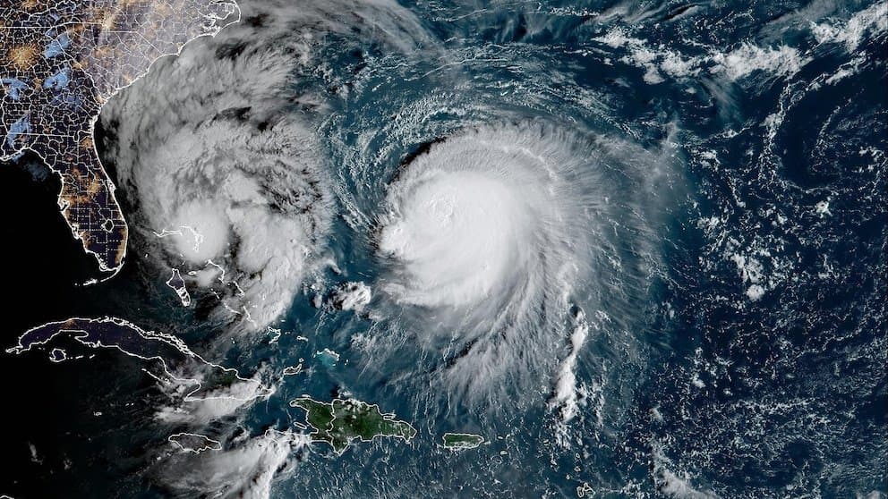
Recent National Hurricane Center forecasts and reconnaissance data show Tropical Storm Isaias strengthening rapidly over the Gulf of Mexico, with current winds near 55 knots and a central dense overcast forming. Warm sea surface temperatures and initially light shear support further intensification, yet increasing vertical wind shear ahead of landfall near the northern Gulf Coast is expected to cap peak intensity. Model consensus clusters around Category 2 strength at maximum, with some guidance allowing brief Category 3 conditions before shear erodes the inner core. Trader consensus reflected in the closely matched Category 2 and 3 implied probabilities captures this narrow window of uncertainty, with upcoming model runs and additional aircraft missions likely to refine the intensity outlook before Friday landfall.
Experimental AI-generated summary referencing Polymarket data. This is not trading advice and plays no role in how this market resolves. · UpdatedView resolved
Beware of external links.
Beware of external links.
Frequently Asked Questions