
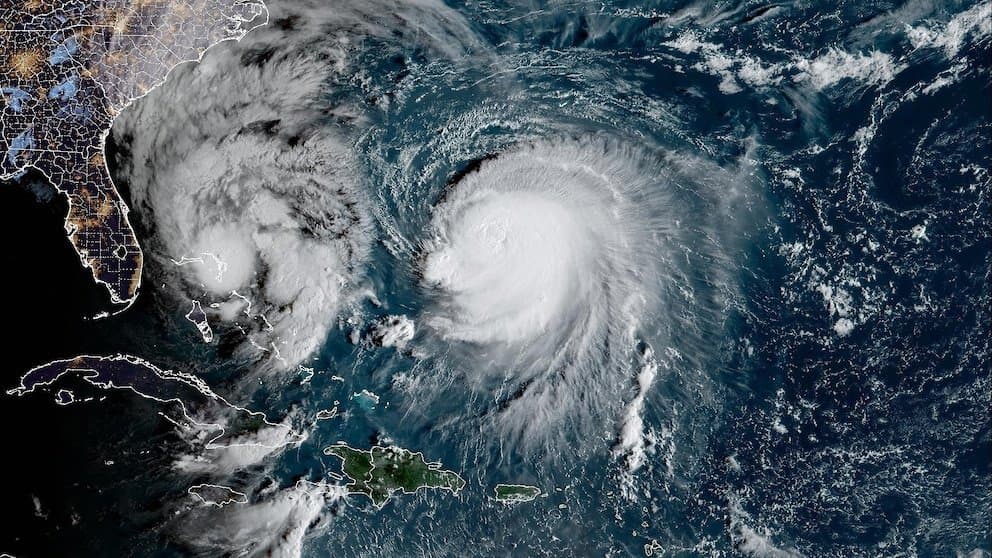
Tropical Storm Koguma, currently centered near 15°N 164°E with maximum sustained winds around 50-60 mph and central pressure near 990-995 hPa, is forecast by the Japan Meteorological Agency and Joint Typhoon Warning Center to intensify steadily over warm western Pacific waters. Low vertical wind shear and favorable upper-level outflow support rapid strengthening, with models projecting it to reach typhoon status by October 8-9 and potentially peak near 935-955 hPa with winds of 90-110 knots. These conditions position "very strong" as the leading market outcome at 55.5%, reflecting trader consensus on major typhoon thresholds, while environmental uncertainties such as dry air entrainment keep lower-intensity scenarios at just 4%. Updated official forecasts and satellite observations over the next 48 hours will likely refine probabilities ahead of its northwestward track.
Experimental AI-generated summary referencing Polymarket data. This is not trading advice and plays no role in how this market resolves. · UpdatedView resolved
Beware of external links.
Beware of external links.
Frequently Asked Questions