
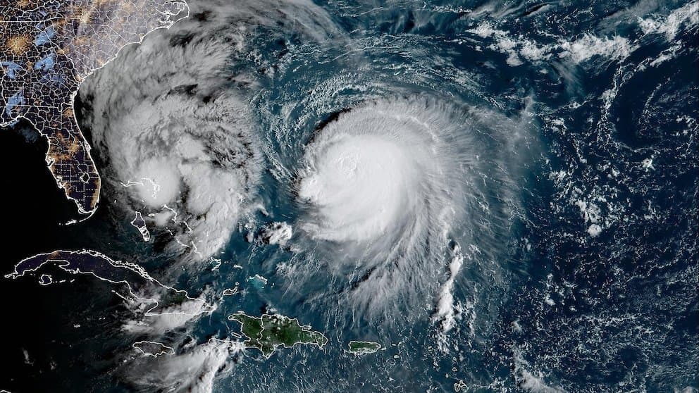
Recent official forecasts from the Joint Typhoon Warning Center and Japan Meteorological Agency show Typhoon Koguma undergoing rapid intensification over warm western Pacific waters, with sustained winds already near 115 mph and models projecting peaks around 120–130 knots before gradual weakening. These conditions support the market’s 90.5% implied probability for a “very strong” typhoon classification under JMA criteria. Forecasters cite favorable outflow, low shear, and high ocean heat content as key drivers, consistent with historical analogs for storms in this basin during early October. A shift to “violent” intensity remains possible only if the storm exceeds the highest wind thresholds, while cooler sea-surface temperatures or increasing shear after recurvature could limit strengthening and keep it below very strong levels. Updated model runs and intensity advisories over the next 24–48 hours will provide the next key data points for traders.
Polymarketデータを参照したAI生成の実験的な要約。これは取引アドバイスではなく、このマーケットの解決方法には一切関係ありません。 · 更新日View resolved
外部リンクに注意してください。
外部リンクに注意してください。
よくある質問