
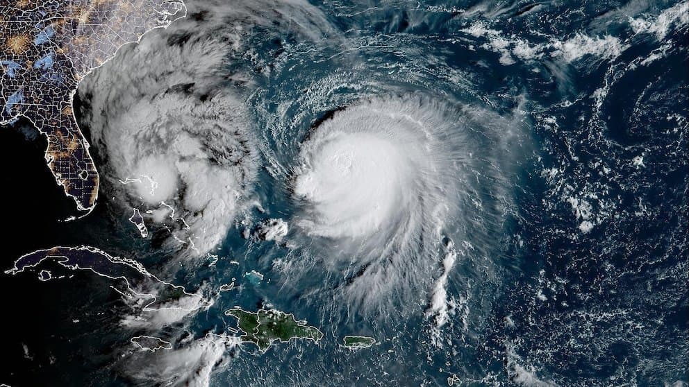
Recent official forecasts from the Joint Typhoon Warning Center and National Weather Service indicate Typhoon Koguma, currently near 20°N 154°E with maximum sustained winds of 100–110 mph and central pressure around 960 hPa, is undergoing rapid intensification over warm western Pacific waters. Model consensus projects peak intensity near 120–130 mph (Category 4 on the Saffir-Simpson scale) within 24–36 hours before gradual weakening begins, consistent with favorable atmospheric conditions and ocean heat content supporting further strengthening. This trajectory underpins trader consensus favoring "very strong" outcomes while limiting probabilities for weaker or extreme violent scenarios, with next intensity updates from monitoring agencies expected within hours.
Ringkasan eksperimental yang dihasilkan AI dengan referensi data Polymarket. Ini bukan saran trading dan tidak berperan dalam bagaimana pasar ini diselesaikan. · DiperbaruiView resolved
Hati-hati dengan link eksternal.
Hati-hati dengan link eksternal.
Pertanyaan yang Sering Diajukan