
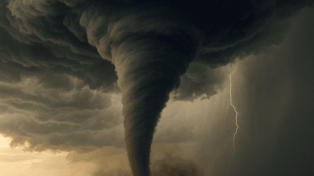
National Weather Service Storm Prediction Center outlooks on September 14 placed a slight risk of severe thunderstorms, including tornadoes, across eastern Nebraska into western and central Iowa, with a Tornado Watch covering that corridor through midnight. Favorable parameters included moderate instability, strong low-level shear from a 40-50 kt jet, and supercell potential, though lingering inhibition created some uncertainty about surface-based storms. Omaha, Lincoln, Des Moines, and Sioux City sat within the highest-probability tornado contours. An isolated EF-0 tornado occurred earlier in Virginia, outside the main risk area. Updated model runs and real-time radar data from SPC and local NWS offices determined final city-level impacts for market resolution.
Tóm tắt AI thử nghiệm tham chiếu dữ liệu Polymarket. Đây không phải tư vấn giao dịch và không ảnh hưởng đến cách thị trường này được giải quyết. · Cập nhậtView resolved
Cẩn thận với liên kết bên ngoài.
Cẩn thận với liên kết bên ngoài.
Câu hỏi thường gặp