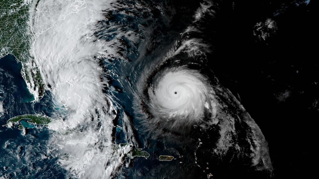
Hurricane Isaias made landfall near Destin in Florida's Panhandle as a Category 2 system with sustained winds near 105 mph on the evening of October 9, 2026, according to National Hurricane Center advisories. Model consensus, including HAFS and HWRF runs, consistently steered the storm northward into the western Florida Panhandle after it strengthened over the Gulf amid high oceanic heat content before increasing southwesterly shear prompted slight weakening ahead of arrival. Official track guidance narrowed on this path within the prior 48 hours, driven by interaction with an upper-level trough and subtropical ridge. Post-landfall, the system rapidly transitioned to post-tropical over Alabama by October 10 with fast inland weakening. No further updates are expected from the NHC as the circulation dissipated.
Eksperimental na AI-generated summary na nire-reference ang Polymarket data. Hindi ito trading advice at wala itong papel sa kung paano nire-resolve ang market na ito. · Na-updateView resolved
Mag-ingat sa mga external link.
Mag-ingat sa mga external link.
Mga Madalas na Tanong