
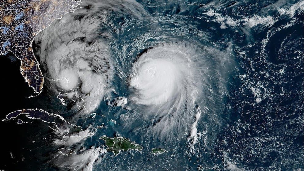
**Current observations position Typhoon Koguma as a Category 4 system with maximum sustained winds near 130 mph (about 210 km/h) and central pressure around 935–944 hPa as of early October 11, 2026.** Official analyses from the Japan Meteorological Agency and Joint Typhoon Warning Center confirm it reached peak intensity of roughly 140 mph earlier, classifying it as very strong on standard scales. Forecasts indicate gradual weakening from increased shear and cooler waters as it tracks north then northeast across the open western Pacific, with transition to extratropical status expected by mid-week. This trajectory and intensity data underpin the overwhelming market-implied probability for “very strong.” A faster-than-expected decline from environmental factors or model revisions showing earlier extratropical transition could shift outcomes, though recent runs show limited scope for such rapid change before resolution criteria are met.
Eksperimental na AI-generated summary na nire-reference ang Polymarket data. Hindi ito trading advice at wala itong papel sa kung paano nire-resolve ang market na ito. · Na-updateView resolved
Mag-ingat sa mga external link.
Mag-ingat sa mga external link.
Mga Madalas na Tanong