
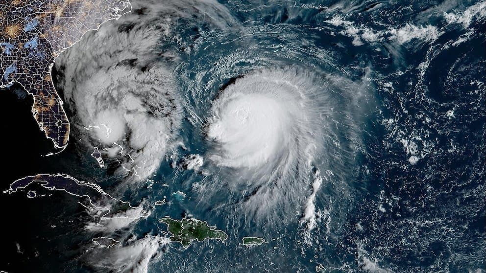
**Typhoon Koguma has undergone rapid intensification over warm western Pacific waters, reaching Category 4 strength with sustained winds near 140 mph (122 knots) and central pressure around 941 mb as of October 10.** Official forecasts from the Joint Typhoon Warning Center and Korea Meteorological Administration indicate peak intensity near this level before gradual weakening begins as the system recurves northward into cooler sea-surface temperatures and increasing vertical wind shear. These conditions strongly favor the “very strong” typhoon category in JMA terminology while limiting the chance of reaching the higher “violent” threshold, consistent with the 81% versus 20% market-implied odds. The storm is expected to remain over open ocean east of the Marianas with no land impacts, keeping resolution focused strictly on maximum sustained winds. Updated model runs and next official intensity advisories will provide the key near-term catalysts for any probability shifts.
Экспериментальная сводка, созданная ИИ на основе данных Polymarket. Это не является торговой рекомендацией и не влияет на то, как разрешается этот рынок. · ОбновленоView resolved
Не доверяй внешним ссылкам.
Не доверяй внешним ссылкам.
Часто задаваемые вопросы