
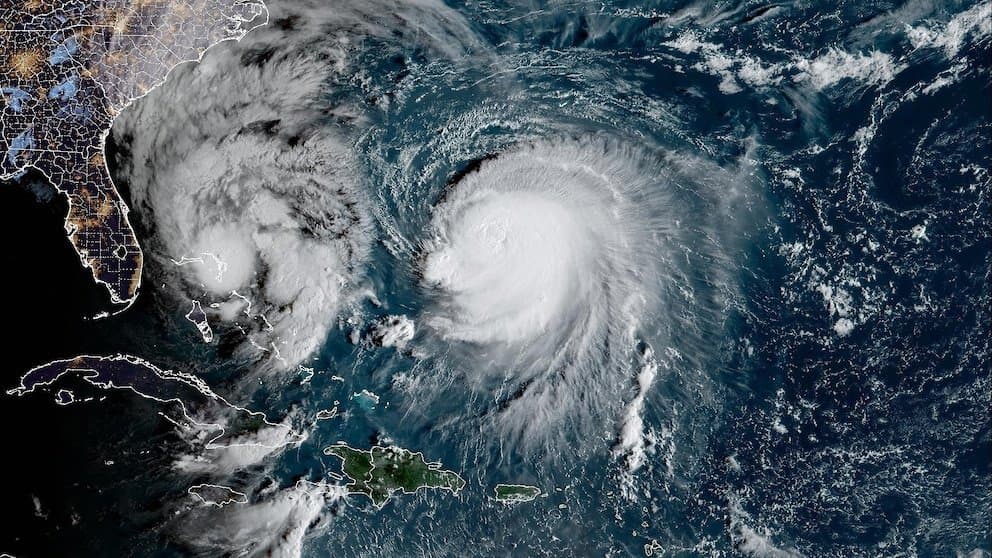
**Hurricane Simon, currently a Category 1 system with 80-kt sustained winds near 15.8°N 104.5°W off Mexico’s Pacific coast, is undergoing rapid intensification.** Favorable conditions—including low vertical wind shear, very warm sea-surface temperatures, high mid-level moisture, and a compact inner core with developing outflow—are driving quick strengthening, as confirmed by recent National Hurricane Center analyses and satellite data showing improved banding and a small central dense overcast. Official forecasts project a peak of 120–125 kt (Category 4 on the Saffir-Simpson scale) within 24–36 hours, before the storm turns northward and approaches the west-central Mexican coast near Michoacán/Colima/Jalisco as a major hurricane. This aligns with the market’s leading 51.5% implied probability for Category 4, reflecting model consensus from guidance such as HFIP-HCCA on a compact system that intensifies significantly but encounters land interaction and mountainous terrain shortly after peak. Category 3 odds (21.5%) account for possible earlier weakening or slightly less aggressive intensification, while the 18.5% chance of Category 5 reflects uncertainty around whether the ongoing rapid-intensification phase could push winds beyond 130 kt before landfall. Lower-category outcomes remain low-probability given the current trajectory and environment. Upcoming NHC forecast updates and satellite/microwave observations over the next 24–48 hours will provide the key data points likely to shift trader positioning.
Eksperymentalne podsumowanie AI odwołujące się do danych Polymarket. To nie jest porada handlowa i nie ma wpływu na rozstrzyganie tego rynku. · ZaktualizowanoView resolved
Uważaj na linki zewnętrzne.
Uważaj na linki zewnętrzne.
Często zadawane pytania