
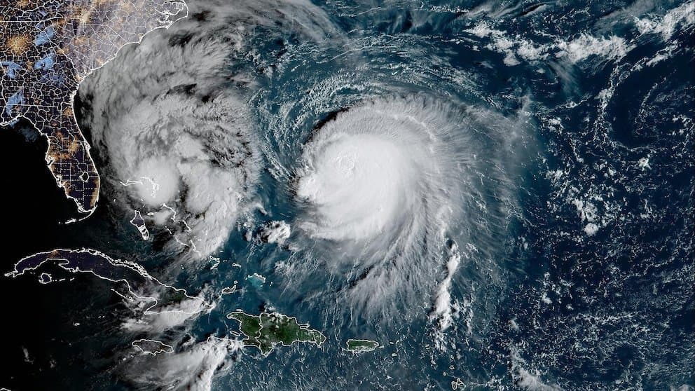
Tropical Storm Koguma, currently centered near 15°N 164°E with maximum sustained winds around 50-60 mph and central pressure near 990-995 hPa, is forecast by the Japan Meteorological Agency and Joint Typhoon Warning Center to intensify steadily over warm western Pacific waters. Low vertical wind shear and favorable upper-level outflow support rapid strengthening, with models projecting it to reach typhoon status by October 8-9 and potentially peak near 935-955 hPa with winds of 90-110 knots. These conditions position "very strong" as the leading market outcome at 55.5%, reflecting trader consensus on major typhoon thresholds, while environmental uncertainties such as dry air entrainment keep lower-intensity scenarios at just 4%. Updated official forecasts and satellite observations over the next 48 hours will likely refine probabilities ahead of its northwestward track.
Riepilogo sperimentale generato dall'AI con riferimento ai dati di Polymarket. Questo non è un consiglio di trading e non ha alcun ruolo nella risoluzione di questo mercato. · AggiornatoView resolved
Fai attenzione ai link esterni.
Fai attenzione ai link esterni.
Domande frequenti