
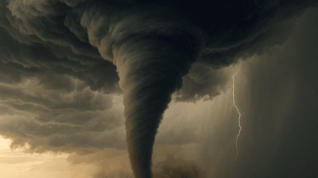
**SPC Day 1 convective outlooks for September 8, 2026, placed a slight severe risk across central Iowa and far eastern Nebraska, with a 2% tornado probability contour encompassing Des Moines, Ames, Waterloo, and nearby population centers.** Low-probability tornado risk stemmed from a low-level jet enhancing shear and warm-air advection along a sharpening baroclinic zone, though storms favored linear or bowing modes that prioritized damaging winds and isolated large hail over discrete supercells. Model guidance and objective analysis showed effective SRH supportive of brief rotation but limited by storm organization and modest instability. Official reports noted confirmed tornadoes the prior day in Louisiana and Nebraska, with no immediate high-end signals shifting the Iowa-focused outlook. Traders monitoring NWS updates would track any post-event verification or revised probabilities from the 1630Z or later issuances.
Experimental AI-generated summary referencing Polymarket data. This is not trading advice and plays no role in how this market resolves. · UpdatedView resolved
Beware of external links.
Beware of external links.
Frequently Asked Questions