
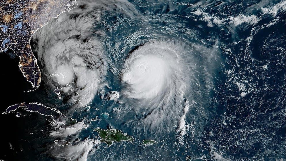
**Rapid intensification under favorable ocean and atmospheric conditions is driving trader consensus toward a very strong typhoon peak for Koguma.** As of October 9, 2026, the system—centered near 20.1°N, 154.1°E—has strengthened into a Category 3-equivalent typhoon with sustained winds near 115 mph and central pressure around 960–961 hPa, following steady deepening from tropical storm stage earlier in the week. Official guidance from the Joint Typhoon Warning Center and Japan Meteorological Agency projects further strengthening to 120–140 mph (roughly 52–60+ m/s) over the next 24–36 hours amid warm sea-surface temperatures and low vertical wind shear, aligning with “very strong” intensity thresholds before gradual weakening begins after Sunday. Model consensus supports this trajectory over open waters east of the Marianas, with limited historical analogs for even higher “violent” peaks under current steering patterns. Upcoming satellite and reconnaissance updates through the weekend will refine intensity estimates and influence any shifts in market-implied probabilities.
Resumen experimental generado por IA con datos de Polymarket. Esto no es asesoramiento de trading y no influye en cómo se resuelve este mercado. · ActualizadoView resolved
Cuidado con los enlaces externos.
Cuidado con los enlaces externos.
Preguntas frecuentes