
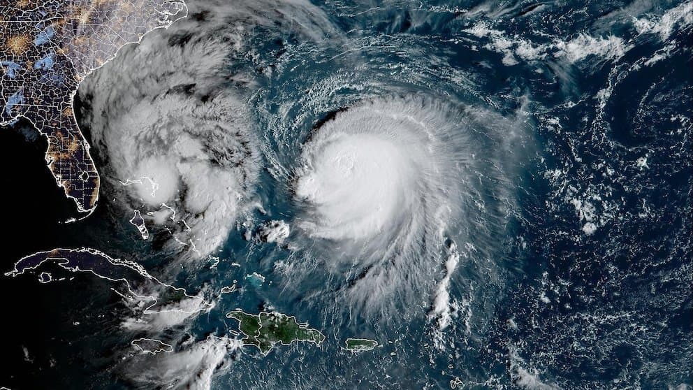
**Recent official forecasts from the Japan Meteorological Agency and Korea Meteorological Administration position Typhoon Koguma for steady intensification over the next several days amid favorable western Pacific conditions.** As of early October 7, 2026, the system remains a tropical storm near 15°N, 163–165°E with maximum sustained winds of 45–50 knots and central pressure around 985–992 hPa. Model consensus and agency guidance project it reaching typhoon intensity by October 8–9, then peaking near October 10–11 with winds of 80–95 knots and pressure falling to 935–950 hPa as it tracks northwest toward waters near Minamitorishima and the Ogasawara Islands. Warm ocean heat content, supportive upper-level outflow, and low wind shear are the key drivers enabling this strengthening, consistent with historical analogs for systems forming in the Marshall Islands region during early October. The market’s leading “Very strong” outcome (55.5%) aligns with this consensus peak intensity on the Japanese scale, while lower odds on “Violent” reflect uncertainty over whether the storm will achieve the highest category thresholds before environmental factors or its track limit further deepening. The minimal probability on “Severe tropical storm or weaker” reflects the low likelihood of stalled development given current conditions. Updated JMA and JTWC model runs over the coming 24–48 hours will provide the next key data points for traders.
Experimentelle KI-generierte Zusammenfassung mit Polymarket-Daten. Dies ist keine Handelsberatung und spielt keine Rolle bei der Auflösung dieses Marktes. · AktualisiertView resolved
Vorsicht bei externen Links.
Vorsicht bei externen Links.
Häufig gestellte Fragen